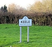
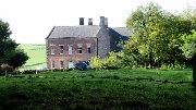
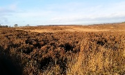
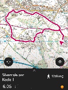
 Silverdale and Keele January 2016 |
 |
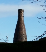
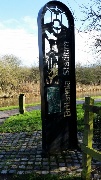
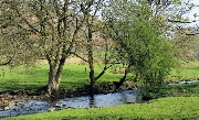
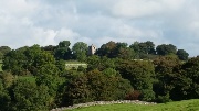
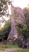
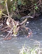
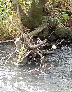
 The burning wood from Pepper Street |
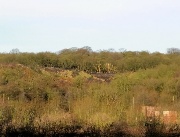
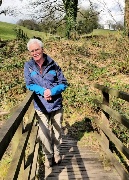
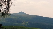
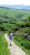
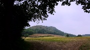
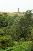
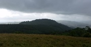
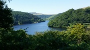
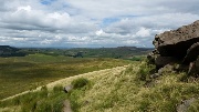
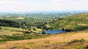
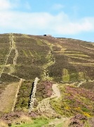
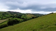
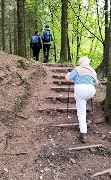
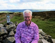
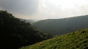
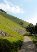
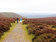
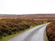
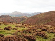
 On Keele Bank |
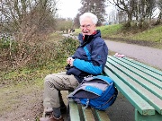
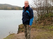
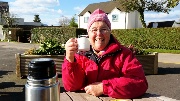
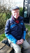
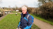
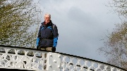
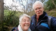
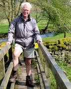
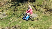
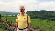
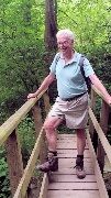
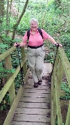
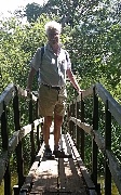
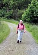
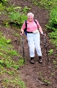
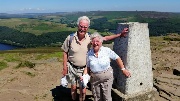
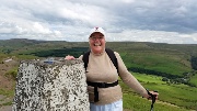
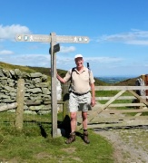
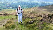
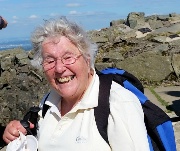
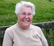
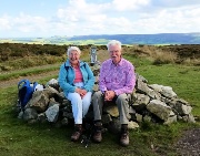
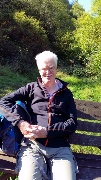
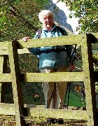
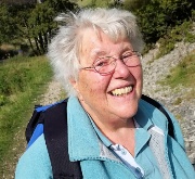
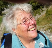
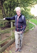
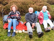
 Selfie |
 |
 |
|
 |
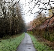
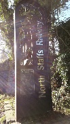
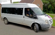
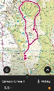
 Kidsgrove by bus |
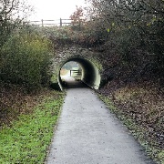
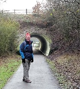
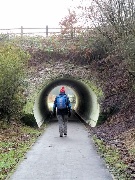
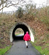
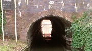
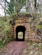
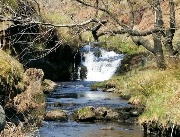
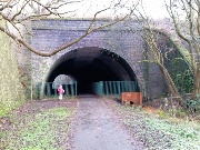 The Kidsgrove Tunnel |
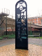
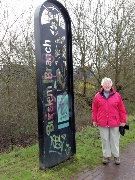
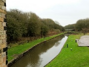
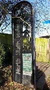
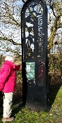
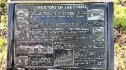
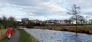
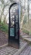
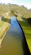
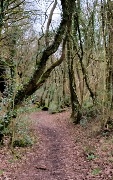
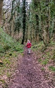
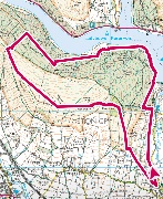
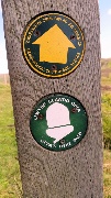
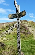
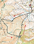
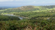
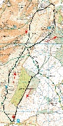
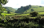
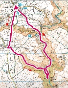
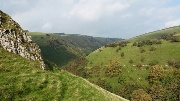
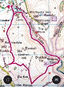
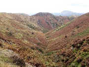
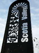 The Scotia Valley Way |
 |
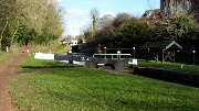
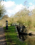
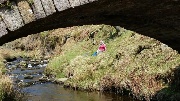
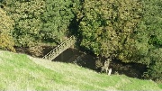
 One of several new culverts under roads |
 |
 |
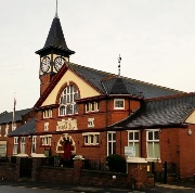
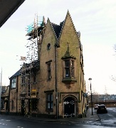
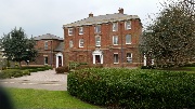
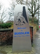 arrival in Burslem |
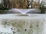
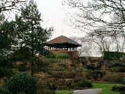 Burslem Park |
 |
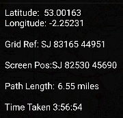
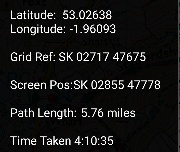
 About five miles, with anotherfrom the bus stop to home |
 From Stoke to the Harecastle Tunnel & then Tunstall January 2016 |
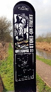
 "Another Gift" opposite the Kings Hall, Stoke |
 |
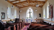
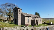
 Stoke, St Peter's |
 |
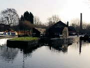
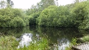
 Stoke: the former junction with the Newcastle Canal |
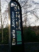
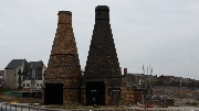
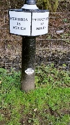
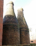 Etruria restored bottle kilns |
 Etruria: looking south |
 The junction ... |
 with the Caldon Canal, left |
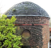 The Wedgwood round house |
 The defaced sign for the former Burslem junction |
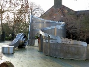
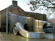
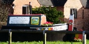
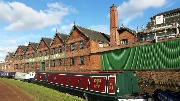
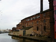 The Middleport Pottery |
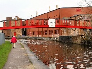 The modern Steelite pottery |
 Lunch at Westport Lake |
 |
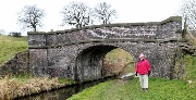
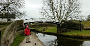
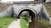
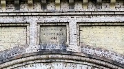
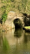
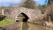
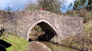
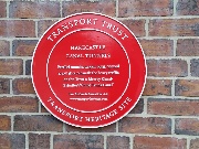 Arrival at the Harecastle Tunnels |
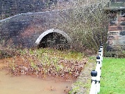 The original Brindley bore; long disused |
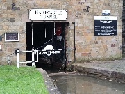 The Telford bore |
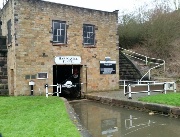 The fanhouse for the tunnel |
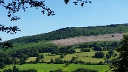
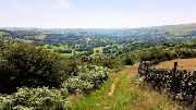
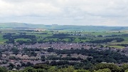
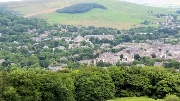
 Looking south towards Stoke |
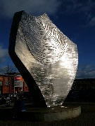
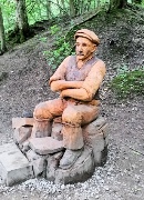
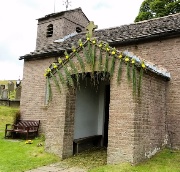
 Climbing up to the "Golden Flame" llandscaping not yet complete |
 |
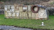
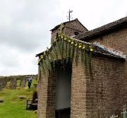
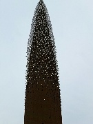 The many messages embedded in the statue |
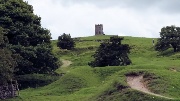
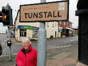 Tunstall |
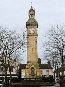 The Town Square |
 |
 |
 The Loop Line Ccobridge to Tunstall January 2016 |
 Moorcroft Pottery |
 Towards Burslem |
 Burslem Station |
 The Burslem Greenway |
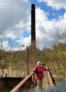
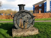 The smokebox from a North Staffordshire Loco |
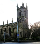
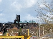 The Sacred Heart Church, Tunstall |
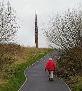
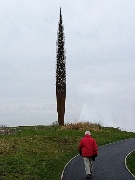
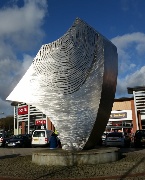
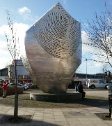 The Tunstall Shard |
 |
 |
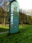 The Scotia Valley Greenway |
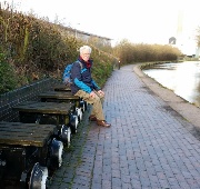
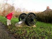 Wheels from a North Staffordshire Loco |
 |
 Distance add a mile extra for the bus stop to & from home |
 Trentham Gardens to Stoke along the Trent and Mersey Canal February 2016 |
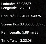
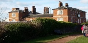
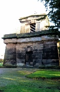 The Sutherland Mausoleum Trentham |
 |
 The Longton Brook Greenway |
 At the end of the Trentham branch of the NS Railway |
 |
 The Sideway Development |
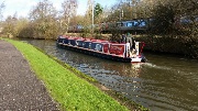 Rail and Canal |
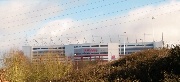
 The Britannia Stadium |
 |
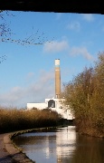 The Incinerator |
 |
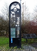 Whieldon Road |
 Four and a half miles |
 Trent & Mersey Canal Stone to Trentham Gardens |
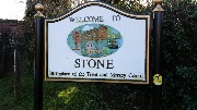 Stone |
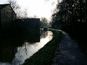
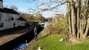 The Canal at the Star Inn |
 |
 |
 The Old Workhouse |
 The former Joules Brewery |
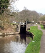
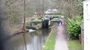
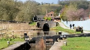
 The Stone Locks |
 Barlaston |
 The Wedgewood Factory |
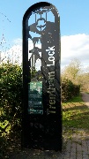
 Trentham Lock the City Boundary |
 |
 |
 |
 |
 |
 |
 |
 |
 |
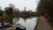
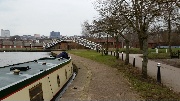
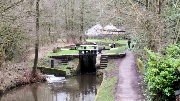
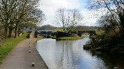
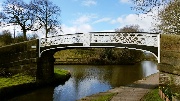
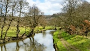
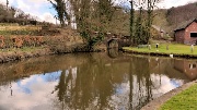
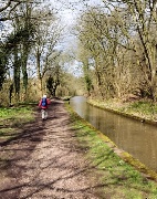
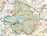
 Caldon Canal Etruria to Stockton Brook |
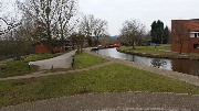 The Industrial Museum |
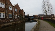 |
 Bottle Kilns |
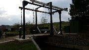
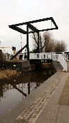 Lift Bridge; now automated |
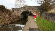 Bridge 20 |
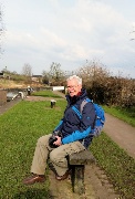 Lunch at the Engine Lock |
 |
 A further automated bridge |
 The Stoke City Boundary |
 Approaching Stockton Brook |
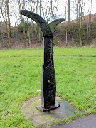
 2007 sculpture |
 The end today, and the way on to Leek and Froghall |
 |
 |
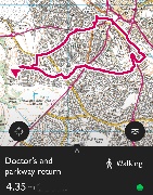
 Back by bus to the Festival Park The Wedgewood House |
 The Junction Caldon Canal to the left |
 The bridge back to the car |
 The extra bit |
 and the extra distance |
 Caldon Canal Stockton Brook to Leek March 2016 |
 Stockton Brook |
 The junction for the Leek branch (right) |
 Bridge 35 on the Caldon |
 |
 From bridge 1 on the Leek branch |
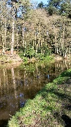 Hollinhay Wood |
 The Leek Tunnel |
 The South entrance |
 View through the North entrance |
 Just over 6 miles |
|
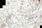
 Caldon Canal from the Leek Branch to Cheddleton |
 Bridge No. 1, Leek Branch |
 Bridge No. 35, Caldon Canal |
 The Aqueduct carrying the Leek Branch over the Cauldon Canal |
 |
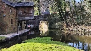
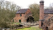 The Cheddleton Flint Mill The North Mill |
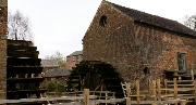 The South Mill |
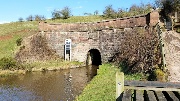
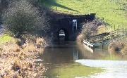
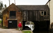 Under the road |
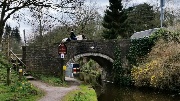
 Bridge near Cheddleton Station |
 |
 |
|
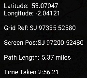
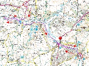
 Cauldon Canal: Cheddleton to Froghall March 2016 |
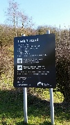
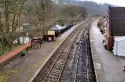 Froghall Station; start by bus; finish on foot |
 Cheddleton Flint Mill; start on foot |
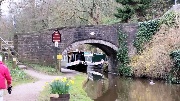
 Cheddleton, Station Bridge |
 |
 Churnet Valley Railway |
 |
 |
 not actually for lunch! |
 |
 The Black Lion, Consall Forge |
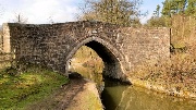 Cherry Eye Bridge |
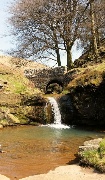
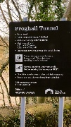 Froghall Tunnel |
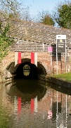 entrance |
 the other end |
 through to the lime basin |
 The Basin |
 |
 |
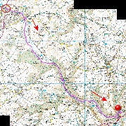
 Froghall, Ipstones and Foxt, March 2016 |
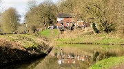
 Froghall Basin |
 False turn across the canal |
 Cherry Eye Bridge to turn off to Ipstones |
 |
 |
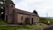
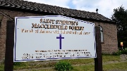
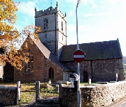
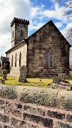 Foxt Church St Mark the Evangelist |
 |
 |
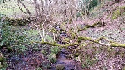
 Crossing one of several streams |
 |
 |
 Tramway bridge over the path |
 The Froghall Limestone Tramway |
 |
 |
 |
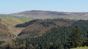
 Macclesfield Forest 2016 |
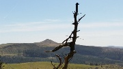
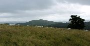
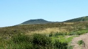
 From Nessit Hill |
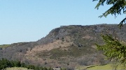
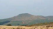
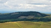
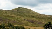
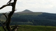
 Shining Tor |
 Wildboarclough |
 Forest Chapel |
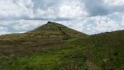
 Shutlingsloe |
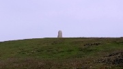
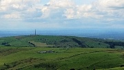
 Sutton Common mast |
 Tegg's Nose |
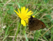
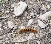
 Brimstone Butterfly |
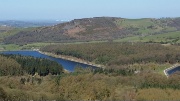
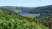
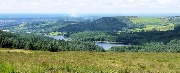
 Trentabank Reservoir |
 |
 |
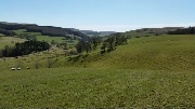
 Gradbach to Three Shire Heads May 2016 |
 Gradbach |
 |
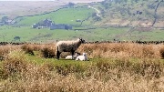
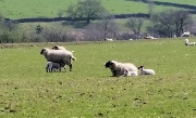
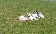
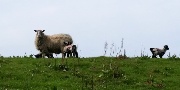 Lambing time |
 |
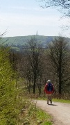
 Shutlingsloe |
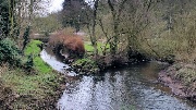
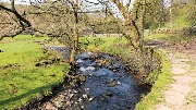
 The Dane |
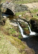 Three Shire Heads |
 |
 lunch |
 |
 |
 |
 |
 |
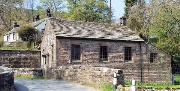 Gradbach Methodist Chapel |
 |
 |
 |
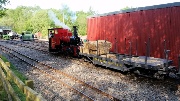
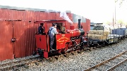
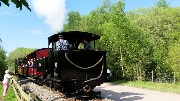
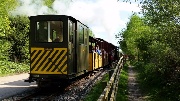
 Apedale and the Steam Gala May 2016 |
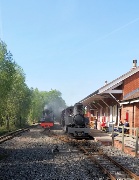 |
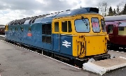
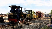 Excursion train |
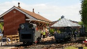 Busy scene |
 |
 |
 |
 |
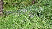
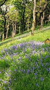
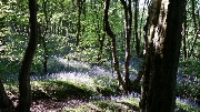 Bluebell time |
 |
 Macclesfield Forest and Tegg's Nose May 2016 |
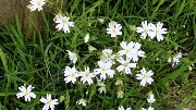 White Campion |
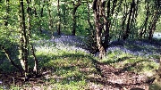
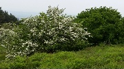
 Bluebells |
 Forest Chapel |
 |
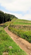 Charity Lane |
 Shutlingsloe |
 Bluebells in the sun |
 Tegg's Nose |
 |
 |
 Up Saddler's Way |
 |
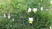 Pansies |
 Earl's Hill, Pontesbury June 2016 |
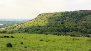
 Earl's Hill |
 The summit |
 |
 |
 The May is out. |
 The lowest point |
 |
 |
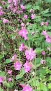 Pink Campion |
 After struggling along the non-existent path! |
 Stiperstones & the Shrophire Hills shuttle June 2016 |
 Bridges |
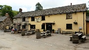
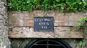
 Opposite the pub |
 The Shuttle bus Bridges to Snailbeach |
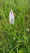 Orchid |
 |
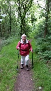 Climbing above Snailbeach |
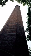 One of the mine chimneys |
 |
 |
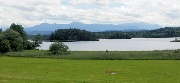
 Bavaria. A walk along the Ostersee and a boat on the Starnberger See July 2016 |
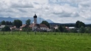 Iffeldorf (blurred!) |
 Between islands on the Ostersee |
 |
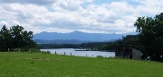 The Herzogstand from the Ostersee |
 |
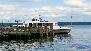
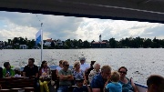 Setting off from Seeshaupt on the Starnberger See |
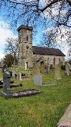
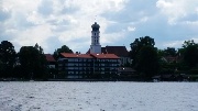 Seeshaupt Kirche |
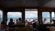 On the boat |
 After arrival in Tutzing |
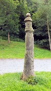
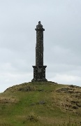
 Rodney's Pillar, Briedden Hills July 2016 |
 In the car park |
 |
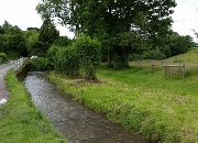
 Fishing Pool |
 The Pillar |
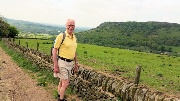
 Middleton Hill |
 A heavy shower |
 |
 Steeper way down |
 Win Hill Outing from Buxton July 2016 |
 Bamford Edge |
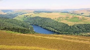
 Ladybower Reservoir from Thornhill Carry |
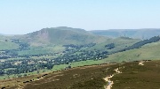
 Looking South |
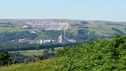 Bradwell Cement Works |
 The ascent to Win Hill |
 |
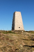 The summit |
 |
 Mam Tor to the West |
 Ladybower to the North |
 Looking back at the summit |
 Lose Hill and Mam Tor |
 Final glimpse |
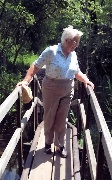
 Walking with shoulder troubles |
 Ladybower |
 |
 |
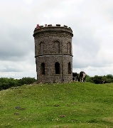
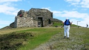
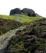
 Solomon's Temple, Buxton July 2016 |
 |
 Lime worker |
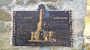
 The Temple |
 Looking North towards Win Hill |
 The Opera House & Pavillion Gardens |
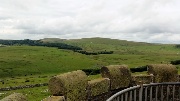 Axe Edge |
 |
 |
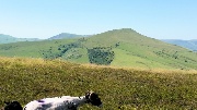
 Shutlingsloe from Trentabank in Macclesfield Forest August 2016 |
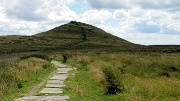 Shutlingsloe |
 The summit |
 |
 Sutton Common and the Cheshire Plain |
 Toot Hill in Macclesfield Forest |
 Shining Tor (on the right) |
 The Macclesfield Forest reservoirs from Buxtor's Hill |
 Looking back at Shuttingsloe |
 Meadow Brown Butterfly |
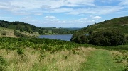
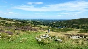
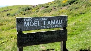
 Moel Famau August 2016 |
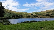 Lunch by the reservoir |
 |
 |
 |
 On to Offa's Dyke path |
 |
 |
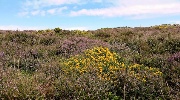 Gorse and heather |
 The summit |
 Offa's Dyke Pat |
 |
 |
 arriving at the Jubilee Tower |
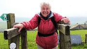
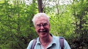
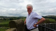
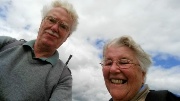
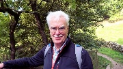
 Eighty one next week |
 |
 The descent |
 View from the car park; Offa's Dyke Path along the ridge; Moel Famau to the left |
 |
 Nessit Hill, Macclesfield Forest, with Sarah & Kevin August 2016 |
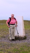
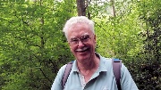
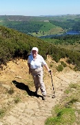
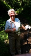
 Pat 81st Birthday walk on Nessit Hill |
 with Sarah & Kevin |
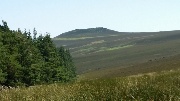
 Shutlingsloe |
 Forest Chapell decorated for the rush bearing service |
 |
 |
 |
 The last lap |
 Macclesfield Forest September 2016 |
 Ridgegate reservoir and Tegg's Nose from Nessit Hill |
 Shutlingsloe from Toot Hill |
 |
 The Stiperstones October 2016 |
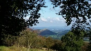
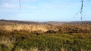
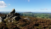 The view to the West |
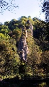
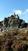 Manstone Rock |
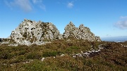 The Devil's Chair |
 Earl Hill |
 |
 |
 |
 Alstonefield, Hall and Mill Dale |
 Alstonefield Church |
 Stanshope |
 Hall Dale |
 |
 Pickering Tor |
 Ilam Rock |
 |
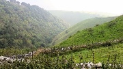
 Narrow Dale, Gypsy Bank and Wolfscote Dale |
 Up Narrow Dale |
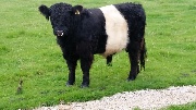
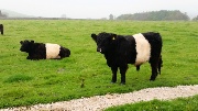
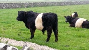 A Belted Galloway Bull |
 |
 |
 |
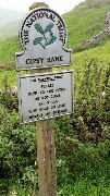 The start of the Gypsy Bank descent |
 Looking South |
 |
 Looking North with the sun out |
 Descent of Gypsy Bank |
 |
 Dipper on the Dove |
 |
 |
 |
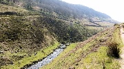
 Wolfscote Dale |
 |
 |
 |
 The Long Mynd with Jana & Franz Slemr October 2016 |
 Jack Mytton Way to the ridge Photo: Franz Slemr |
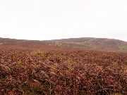 Photo: Franz Slemr |
 The ridge road Photo: Franz Slemr |
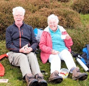 Photo: Franz Slemr |
 with Jana & Franz Photo: Franz Slemr |
 Caer Caradoc Photo: Franz Slemr |
 Townbrook Valley Photo: Franz Slemr |
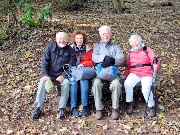 Photo: Franz Slemr |
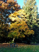 Photo: Franz Slemr |
 St Mary's Church, Church Stretton Photo: Franz Slemr |
 Cannock Chase December 2016 |
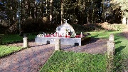 Katyn Memorial |
 The Chase |
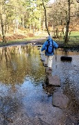 The Stepping Stones |
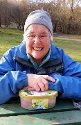
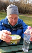 Lunch |
 |
 |
 |
 |
 Some of the Christmas Walks, 2016 |
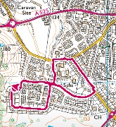
 Silverdale, Keele & the Uni. |
 Excercise on the Lyme Parkway |
 |
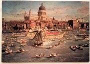
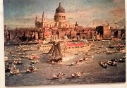 Canaletto Jigsaw |
 |
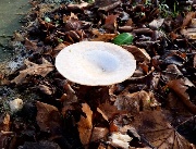
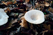
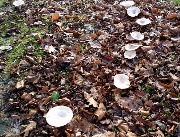 Funghi on Sneyd Avenue |
 |
 |
 Round the Block |
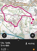 Uni, Keele & Silverdale |
Click thumbnail for a larger picture
Click large picture for next one
Image: Samsung Galaxy S5 Phone Camera; web reduction with Photothumb