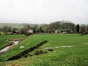
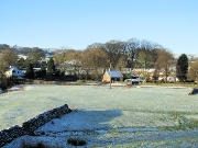
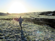
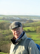
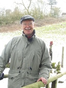
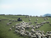
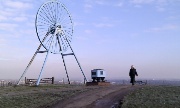
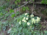
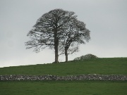
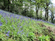
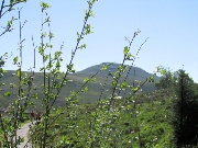
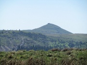
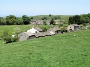
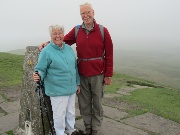
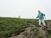
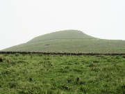
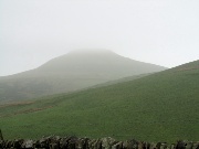
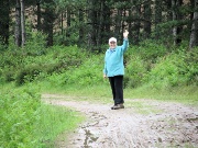
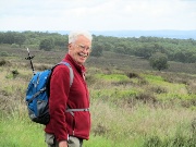
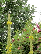
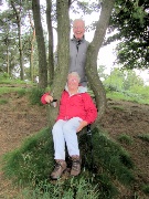
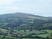
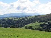
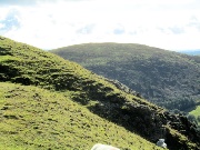
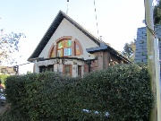
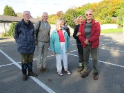
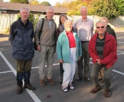
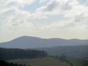
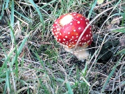
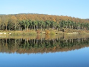
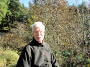
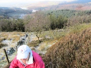
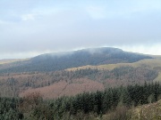
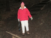
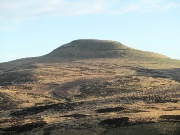
 Onecote and Grindon New Year 2012 |
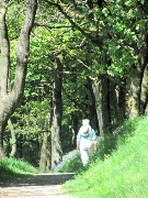
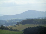
 Oakamoor New Year's Day |
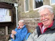
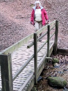
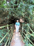
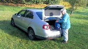
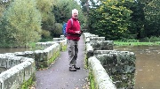
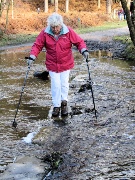
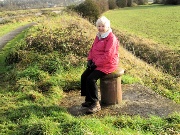
 Retreat from the rain! |
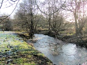
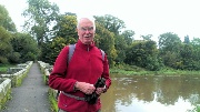
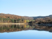
 Oakamoor again 2nd January 2012 |
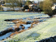 |
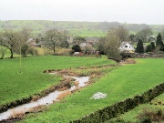
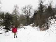
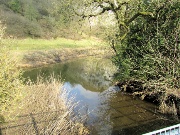
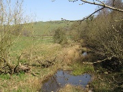
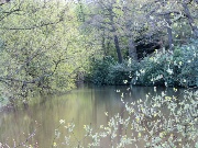
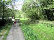
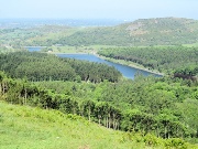
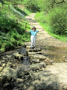
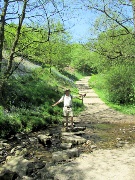
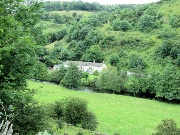
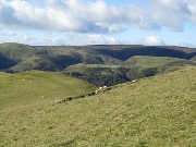
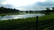
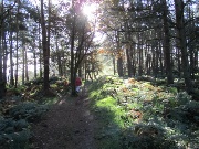
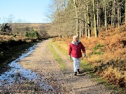
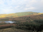
 along the Hamps |
 |
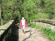
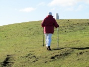
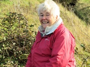
 protection from the low sun! |
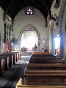
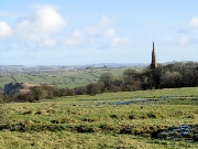
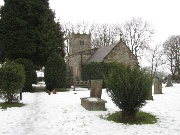
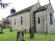
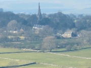
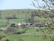
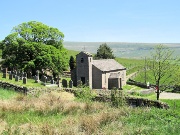
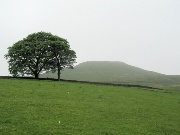
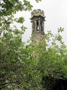
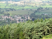
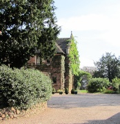
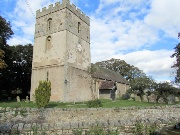
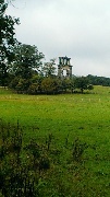
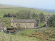
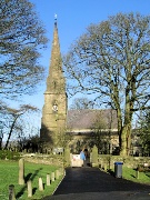 Grindon Church |
 |
 |
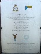
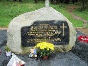
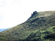
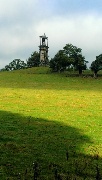
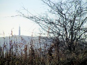
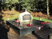
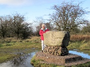
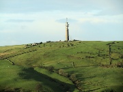
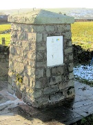 The 1947 air crash memorial |
 |
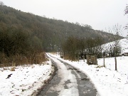
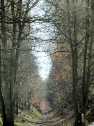
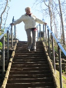
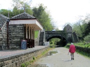
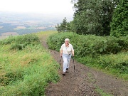
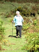
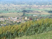
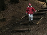
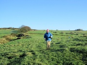 descent into Oakamoor |
 |
|
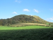
 Shugborough and Cannock Chase January 2012 |
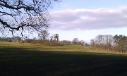 Shugborough Park |
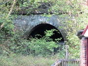
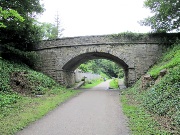
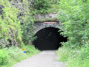
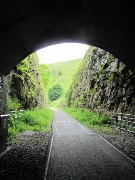
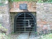
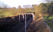 Shugborough tunnel |
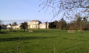
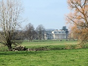
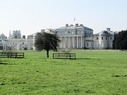
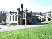
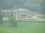
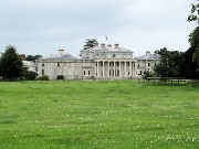
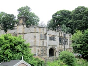
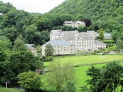
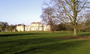 Shugborough Hall |
 |
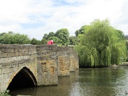
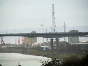
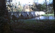 the Trent Bridge |
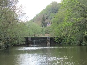
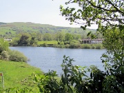
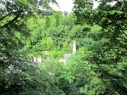
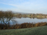
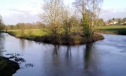 The confluence of the Trent and the Sow |
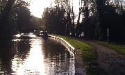 Trent and Mersey Canal |
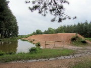
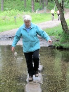
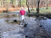
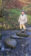
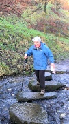
 Cannock Chase the Stepping Stones |
 |
 Waterhouses, Waterfall and the Hamps February 2012 |
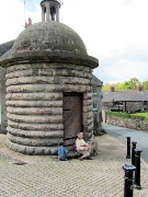
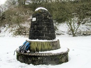 Waterhouses Silver Jubilee memorial |
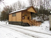
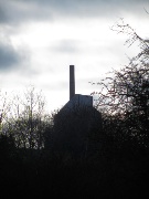
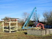
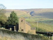
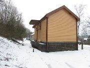 Leek and Manifold Valley Goods Shed |
 |
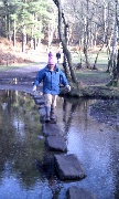
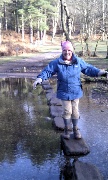
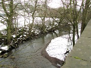 The Hamps |
 across the fields to Waterfall |
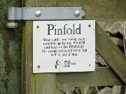
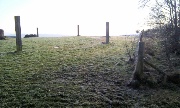
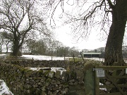 A Pinfold |
 |
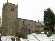
 St James and St Bartholomew Waterfall |
 |
 a perched lunch spot |
 |
 an idyllic side valley |
 The former track of the Leek and Manifold ... |
 ... in the Hamps valley |
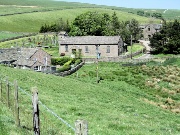
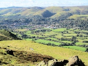
 Waterhouses, Calton and the Hamps February 2012 |
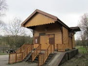 The goods shed, Leek & Manifold |
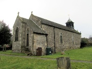
 St Mary's, Calton |
 |
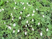
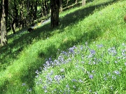
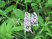
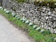 Snowdrops in profusion |
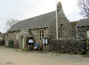 Calton Village Hall |
 |
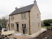 A new house with the owner/builder |
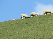
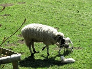
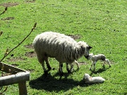
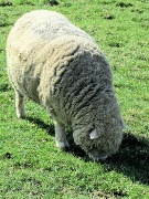
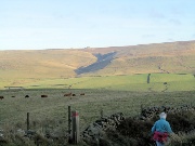
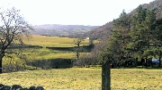
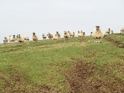 Sheep on Mere Hill ... |
 ... following the feeder |
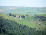
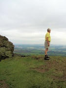
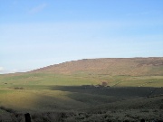
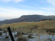
 distant Grindon |
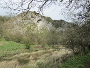
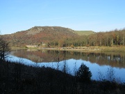
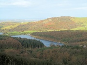
 The Manifold Valley |
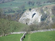
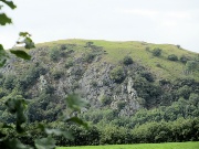
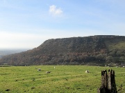
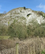 Beeston Tor |
 confluence of the Hamps and Manifold |
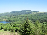
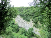
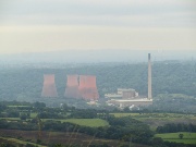
 The Cauldon cement works from the Hamps Valley |
 Apedale February 2012 |
 |
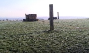 |
 in the frost and snow |
 |
 Cannock Chase and Shugborough March 2012 |
 |
 Deer |
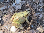 frog |
 |
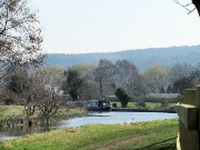 by the Canal |
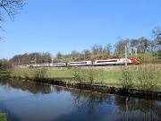 Stoke to London Express |
 Shugborough |
 Crossing the Trent |
 |
 |
 Shugborough Park |
 The Great Orme, Llandudno March 2012 |
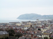 The Little Orme from the Haulfre Gardens |
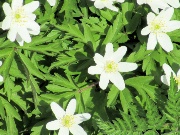
 Wood Anenomes |
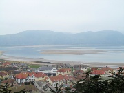 Conwy Bay at low tide |
 |
 The summit buildings |
 |
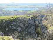
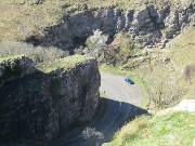
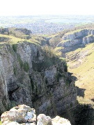
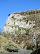
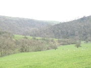
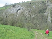
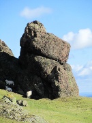
 Cheddar Gorge March 2012 |
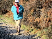
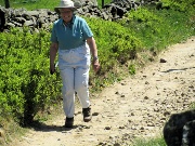
 on the Mendip Way |
 |
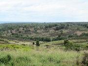
 Looking West |
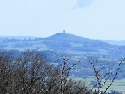
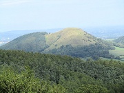
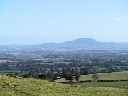
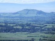 Brent Knoll |
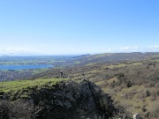 |
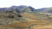
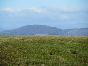
 Mendip scenery |
 The Gorge |
 |
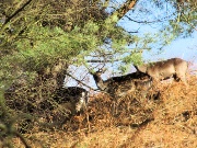
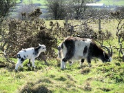 Goats |
 Glastonbury |
 down into the Gorge |
 |
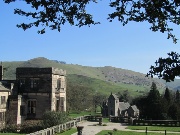
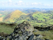
 Ilam and the Manifold April 2012 |
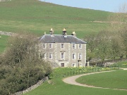
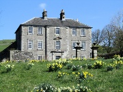
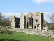
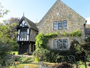
 Ilam Hall |
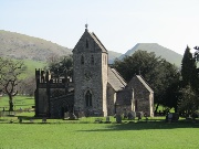 Ilam Church |
 |
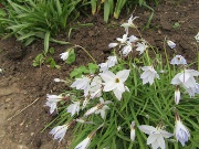
 Wood Anenomies (morning) |
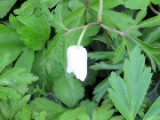 |
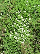 Wood Anenomies (afternoon) |
 |
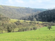
 The Manifold Valley |
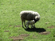
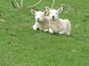
 Lambing time |
 |
 |
 |
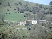
 Caston Hall (from the hill opposite) |
 |
 |
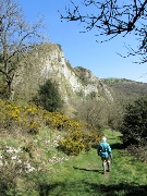
 Beeston Tor |
 |
 Ruins of Throwley Hall and the farm from the opposite hill |
 |
 Throwley Hall |
 |
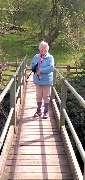
 Re-crossing the manifold |
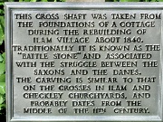
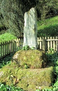 The Battle Stone |
 |
 Ilam again; walk in the opposite direction April 2012 |
 across the Manifold |
 |
 The Manifold Valley |
 approaching Beeston Tor |
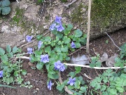
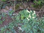 Primroses and violets |
 |
 |
 Beeston Tor |
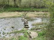 The stepping stones across the Manifold |
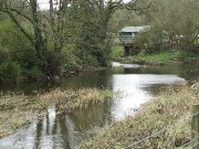 Confluence of the Hamps and the Manifold |
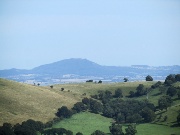
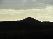
 Peak District silhouette |
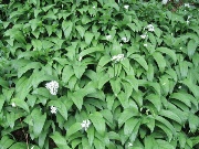
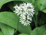 Wild Garlic |
 |
 Caldon Low cement works |
 Rambler's Retreat, Alton and Oakamoor May 2012 |
 Start at Lord's Bridge |
 Alton Station in the Churnet Valley |
 Alton: the Roundhouse Prison |
 |
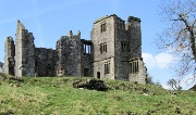
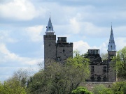 Alton Castle |
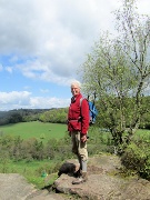
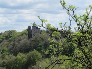 from Toothill |
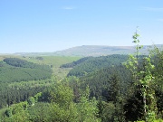
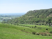
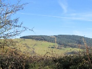
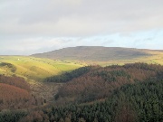
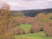 Churnet Valley from Toothill |
 |
 |
 crossing the Dimming brook |
 Dimmingsdale Wood |
 |
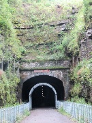
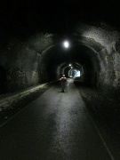
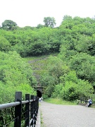
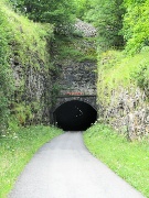
 Oakamoor Tunnel |
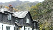
 Oakamoor station |
 Macclesfield Forst and Walker Barn May 2012 |
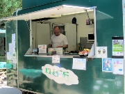
 Start at the visitor centre catering van, The Nice Nosh |
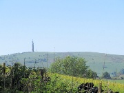 Sutton Mast |
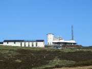
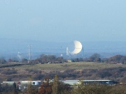
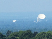 Jodrell Bank |
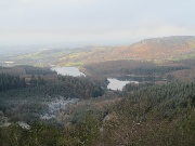
 Tegg's Nose and Ridegate Reservoir from Nessit Hill |
 Shining Tor and Forest Chapel from Nessit Hill |
 Forest Chapel from Nessit Hill |
 Toot Hill from Nessit Hill |
 Shutlingsloe from Nessit Hill |
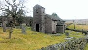
 Forest Chapel |
 The Chapel |
 up Charity Lane |
 Shutlingsloe from Charity Lane |
 on Toot Hill |
 |
 Tegg's Nose from Warrilow Head |
 Walker Barn |
 in Tegg's Nose Wood |
 |
 Bottoms Reservoir |
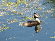
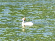 Great Crested Grebe |
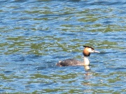 |
 his mate on the nest |
 |
 Back to oatcakes at the Nice Nosh |
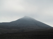
 Shutlingsloe June 2012 |
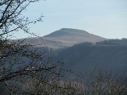
 Shutlingsloe |
 |
 Crag Hall, Wildboarclough |
 The summit |
 |
 the other side |
 a murky farewell |
 Cannock Chase June 2012 |
 Marquis Drive |
 top of Haywood Slade |
 The Stepping Stones |
 The Sherbrook Valley |
 |
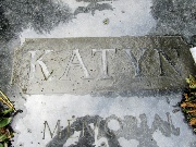
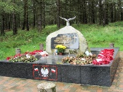 The Katyn Memorial |
 |
 |
 Shugborough July 2012 |
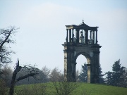
 The neo classical arch |
 The house |
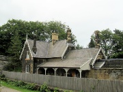
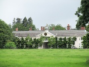 the stables |
 Little Haywood Tower of St Mary's Church |
 |
 The Monsal Trail July 2012 |
 Bakewell |
 appraoching Great Longstone station |
 Thornbridge Hall |
 |
 Great Mullein |
 Headstone Tunnel |
 |
 looking back at Monsal Head |
 Upperdale farm |
 Cressbrook Mill |
 Cressbrook tunnel |
 Litton tunnel |
 |
 Litton Mill |
 orchids |
 Miller's Dale |
 The Wrekin August 2012 |
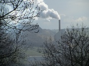
 Ironbridge Power Station |
 The Brown Clee Hill before the rain |
 |
 |
 |
 sheltering from the rain |
 |
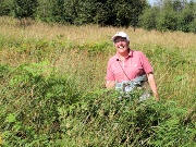
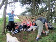 resourceful family |
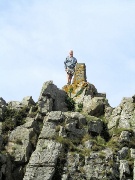
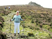
 Stiperstones September 2012 |
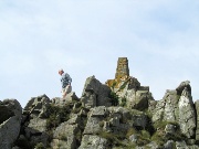
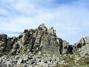 on the Devil's Chair |
 |
 |
 |
 |
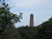
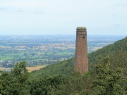 Snailbeach Lead Mine Chimney |
 |
 |
 Pontesbury Hill |
 The Wrekin |
 An absent footpath! |
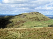
 Earl's Hill, Pontesbury September 2012 |
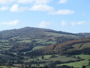
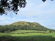 Earl's Hill |
 |
 Is that the Wrekin? |
 |
 The Stiperstones |
 Caer Caradoc |
 Pontesbury |
 Crossing the Habberly Brook |
 Longdon Manor |
 from Oaks Wood |
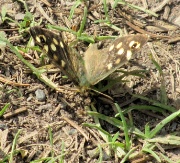
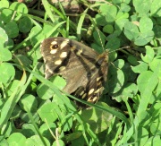
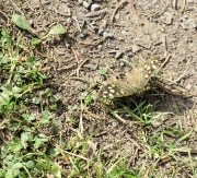 Speckled Wood |
 |
 |
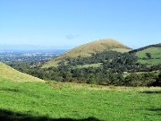
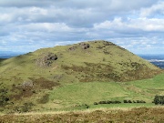
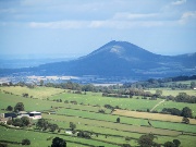
 Caer Caradoc & Hope Bowdler Hill October 2012 |
 Caer Caradoc from Hope Bowdler |
 The Lawley |
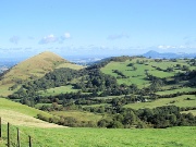 The Lawley and the Wrekin |
 The Brown Clee Hills from the summit of Caer Caradoc |
 Church Stretton |
 The Lawley and the Wrekin |
 |
 Hope Bowdler Hill |
 The Long Mynd |
 Willstone Hill |
 down to the valley |
 Caer Caradoc from the summit of Hope Bowdler |
 The Wrekin |
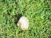
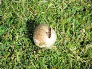
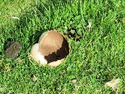
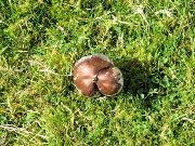
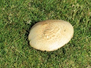
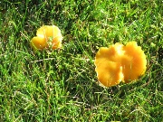
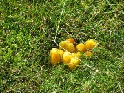
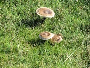
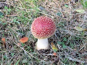
 various funghi |
 |
 |
 |
 |
 |
 |
 Brook Cottage, Cardington |
 |
 St James Church Cardington |
 Shugborough and Cannock Chase October 2012 |
 with the camera in the new phone |
 Shugborough Park with the new phone |
 |
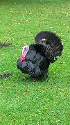
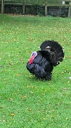 Turkey displaying with the new phone |
 |
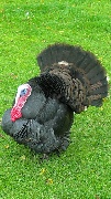 |
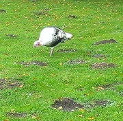 his mate unimpressed with the new phone |
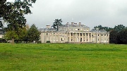 The Hall with the new phone |
 Flooded fields with the new phone |
 crossing the swollen Trent with the new phone |
 |
 Cwm Idwal October 2012 with the camera in the new phone |
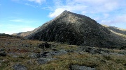
 Y Garn |
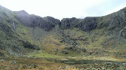
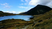
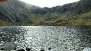 Llyn Idwal and the Devil's Kitchen |
 Pen-Yr-Ol-Wen |
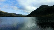 Tryfan and Llyn Idwal |
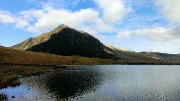 Pen-Yr-Ol-Wen and Llyn Idwal |
 |
 Devil's Kitchen |
 Pen-Yr-Ol-Wen and Llyn Idwal |
 Idwal Cottage |
 SCR Walk: Balwin's Gate to Acton and Whitmore |
 Baldwin's Gate, before |
 |
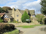
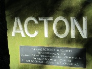 Acton, Staffordshire October 2012 |
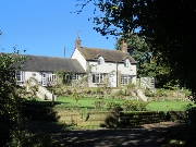 |
 Weslyan Church being converted |
 |
 After |
 |
|
 Earl's Hill Pontesford October 2012 |
 Climbing Earl's Hill |
 |
 |
 |
 The Wrekin |
 Breidden Hills |
 Stiperstones |
 Caer Caradoc |
 Pontesbury |
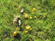
 Autumn Fungus |
 |
 |
 |
 Caer Caradoc |
 |
 |
 Earl's Hill |
 Tegg's Nose & Macclesfield Forest, November 2012 |
 Tegg's Nose from Macclesfield Forest |
 reflection in Ridgegate Reservoir |
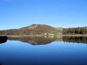
 Ridgegate Reservoir |
 |
 Jodrell Bank in the sun |
 Shutlingsloe |
 Sutton Common Mast |
 The Quarry |
 Macclesfield Forest our route |
 Tegg's Nose from the entrance to Macclesfield Forest |
 |
 Shining Tor |
 The Cat & Fiddle from Charity Lane |
 Forest Chapel |
 Katyn Memorial & Cannock Chase November 2012 |
 The Katyn Memorial |
 on the Heart of England Way |
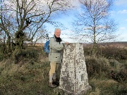
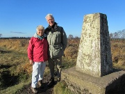 Marquis Drive Trig. Point |
 The Stepping Stones - flooded |
 |
 |
 The Glacial Boulder ... |
 ... and adjacent Trig. Point |
 Macclesfield Forest December 2012 |
 |
 Toiling up Buxtor's Hill |
 Toot Hill |
 Shutlingsloe |
 Forest Chapel |
 in the forest on Toot Hill |
 |
 Tegg's Nose in the frost |
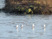
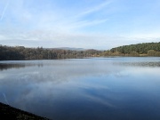
 Tittesworth Reservoir December 2012 |
 |
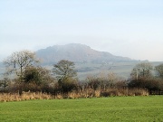 The Roaches |
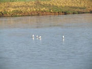 Gulls on the ice |
 |
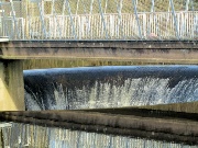
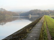 The Dam wall |
 |
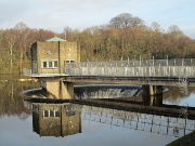 The water intake |
 |
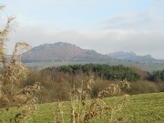 The Roaches, Hen Cloud, Ramshaw Rocks |
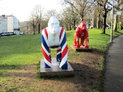
 Avon Gorge December 2012 |
 Near the bridge, Clifton |
 |
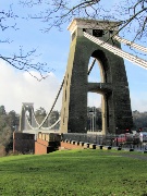 The Clifton Suspension Bridge |
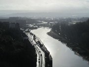 The Avon |
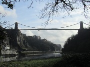 in the Gorge |
 nearing Pill |
 |
 The M5 viaduct from Pill |
 Macclesfield Forest (twice) December 2012 |
 Boxing Day Tegg's Nose |
 on the Tegg's Nose trail |
 |
 |
 Climbing upto the forest |
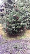 A decorated tree |
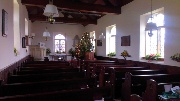 Forest Chapel |
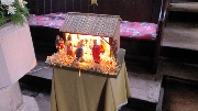 Nativity scene |
 |
 December 30th Shutlingsloe from the Hanging Gate Ridge |
 Sutton Common mast from the Hanging Gate Ridge |
 Tegg's Nose from Nessit Hill |
 Shining Tor from Nessit Hill |
 Macclesfield Forest (Toot Hill) |
 Shutlingsloe with a darkening sky |
Click thumbnail for a larger picture
Click large picture for next one
Image: Canon Powershot 210 IS; web reduction with Photothumb