Walks 2011
Also in 2011: Events, Garden, Walks, Visits, Paul, Stephen, and Michael. Holidays
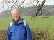
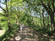
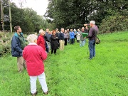
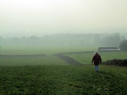
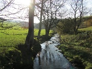
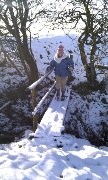
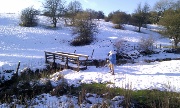
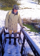
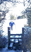
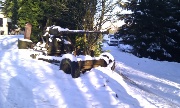
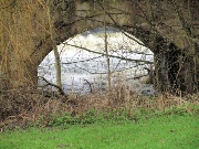
 Hanchurch Woods January 2011 |
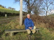
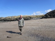
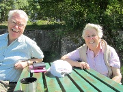
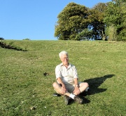
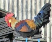
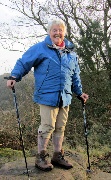
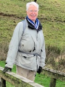
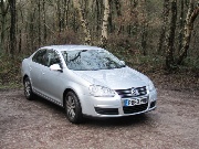 Jetta portrait |
 |
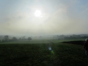
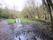
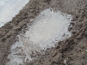 warmer but still iced puddles |
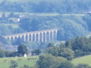
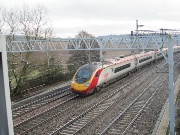 Virgin train at Stapleford |
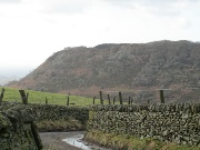
 Macclesfield Forest & Tegg's Nose January 2011 |
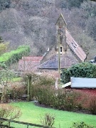
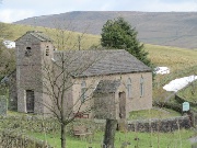 Forest Chapel |
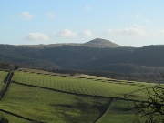
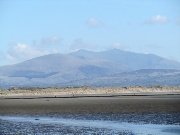
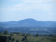
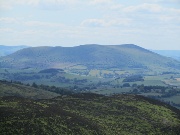
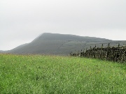
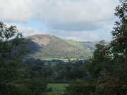
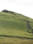
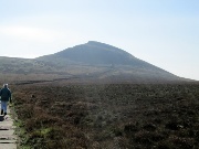
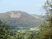
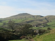
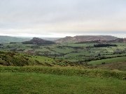
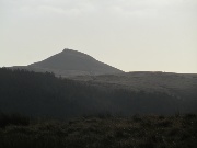 Shutlingsloe from Charity Lane |
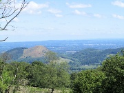
 Cat & Fiddle from Charity Lane |
 |
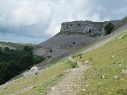
 Tegg's Nose from the upper forest |
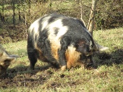
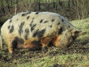
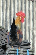
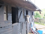
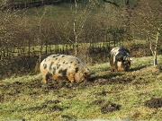 interesting pigs |
 |
 |
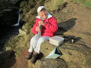
 lunch |
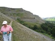
 Shutlingsloe from Tegg's nose |
 |
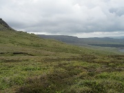
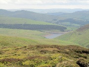
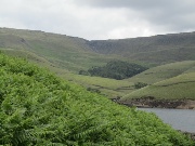
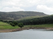
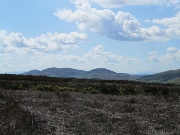
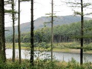
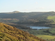 Ridgegate Resevoir and Shutlingsloe from Tegg's Nose |
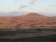 Shutlingsloe at sunset from near the Hanging Gate |
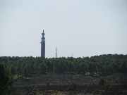
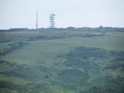
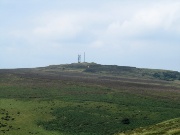
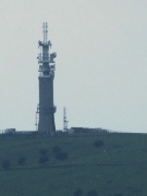
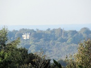
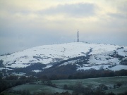
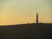 Sutton Common Mast |
 The Wrekin February 2010 |
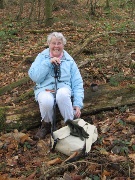 |
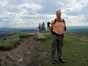
 propping up the summit |
 mapping with the phone! |
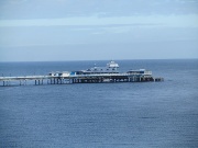
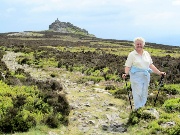
 Llandudno & Angelsey March 2011 |
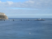 Llandudno Pier |
 |
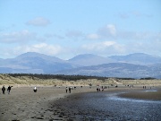
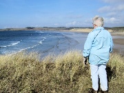 Malltraeth Sands from Llandwyn Island |
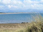 Newborough Warren and Snowdonia from Llandwyn Island |
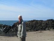
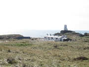
 on Llandwyn Island |
 |
 |
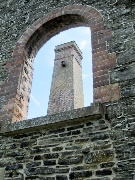
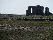 Church remains |
 |
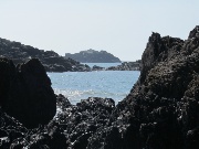
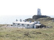 Lighthouse and cottages Llandwyn Island |
 |
 The Glyders & Y Garn |
 Snowdon |
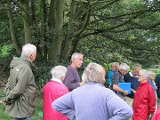
 Loggerheads with the SCR March 2011 |
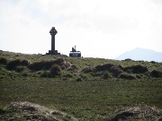
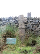
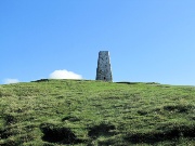
 Lord Audley's Memorial Cross |
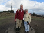
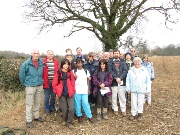 The SCR group |
 |
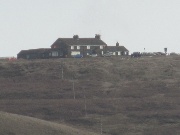
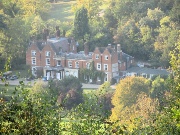
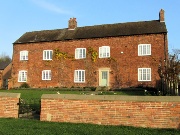
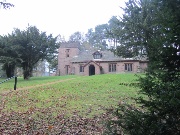
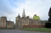
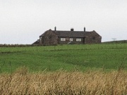
 Oakley House |
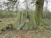 The Devil's Ring and Fingers |
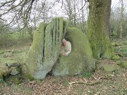 Surely not the Owner... |
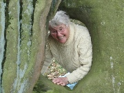 ...in Residence? |
 Cannock Chase May 2011 |
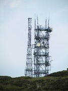
 Communications Mast |
 lunch |
 near Brockton |
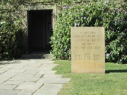
 German Military Cemetery |
 |
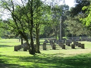
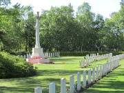 Commenwealth Cemetery |
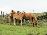
 Stiperstones & Snail Beach Lead Mine June 2011 |
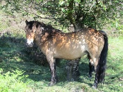
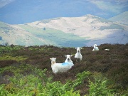
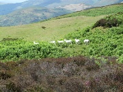
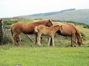
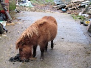
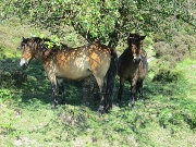 Grazing ponies |
 |
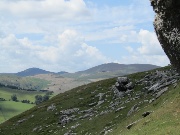
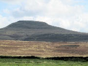
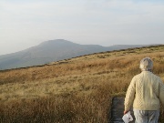
 The Wrekin |
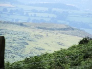
 towards Shrewsbury & home |
 |
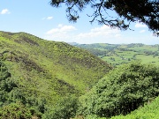 Crowsnest Dingle |
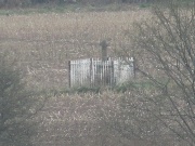
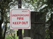
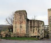
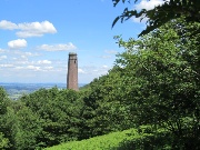 Snail Beach Lead Mine |
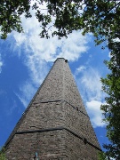 |
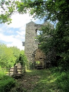 Engine House |
 |
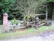
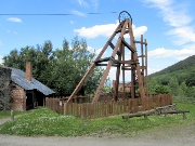 Winding Gear |
 drift entrance |
 |
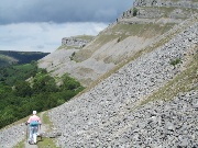
 Corndon Hill |
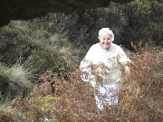
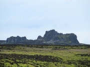 The Devil's Chair |
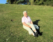
 happily, not the devil! |
 |
 |
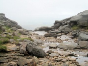
 Kinder Scout June 2011 |
 Early start from Bowden Bridge |
 Mount Famine from Tunstead Clough Farm |
 The Mediaeval Cross |
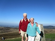
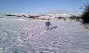
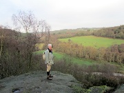
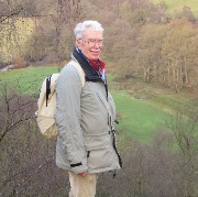
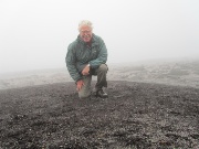 Kinder Low self portrait on the summit |
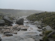 Kinder River |
 Top of the downfall |
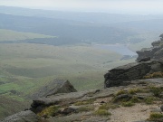 Kinder reservoir the mist beginning to lift |
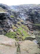 Kinder Downfall |
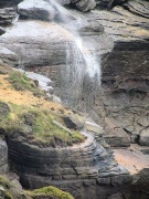 The fall blown back up by the wind |
 The Kinder ridge |
 The reservoir |
 Kinder Downfall from the reservoir |
 Kinder Low |
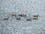 Canada geese |
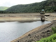 The empty reservoir |
 Ruabon Mountain July 2011 |
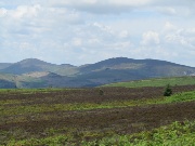 Cyrn-y-Bran from Ruabon Mountain |
 sharing tha path |
 |
 Descent ... |
 ...to... |
 ...Offa's Dyke Path |
 |
 |
 on top again |
 |
 Pont Cysyllte Aqueduct from afar |
 Brown Clee Hill July 2011 |
 Abdon Burf (the summit) from the Fort |
 |
 Titterstone Clee Hill |
 lunch |
 from the Five Springs |
 |
 The Fort from the Shropshire Way |
 loose ponies |
 |
 Silverdale Heritage Walk September 2011 |
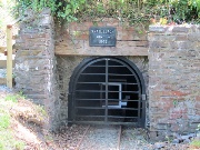
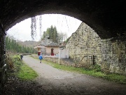
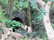 Silverdale tunnel |
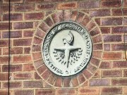 Festival of Britain sign |
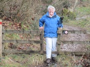
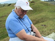
 Terry O'Neil ... |
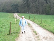
 leading the group |
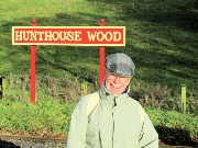
 Hayling Wood |
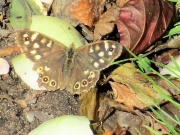
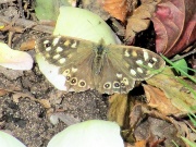 Speckled Wood |
 |
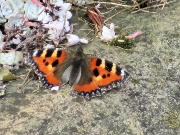 Small Tortoiseshell |
|
 Macclesfield Forest September 2011 |
 Tegg's Nose |
 again, from the Hanging Gate |
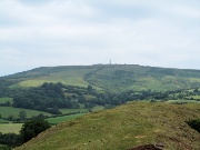
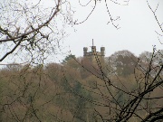
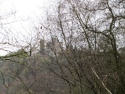
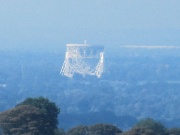 Jodrell Bank Telescope from Hanging Gate |
 Shutlingsloe from above Hanging Gate |
 The Roaches |
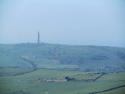
 Sutton Common mast |
 Shutlingsloe summit |
 looking back up |
 Box Hill October 2011 en route to Albania! |
 near Saloman's Memorial |
 |
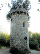 Broadwood Folly |
 Fredley Manor |
 Juniper Hall |
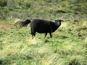
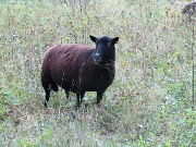 Black sheep |
 |
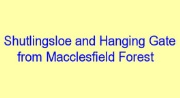 Shutlingsloe, Piggford Moor and Hanging Gate from Macclesfield Forest October 2011 |
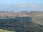
 Macclesfield Forest |
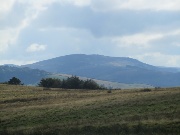
 Shutlingsloe |
 |
 |
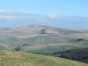
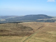 Macclesfield Forest from the summit |
 Sutton Common Mast |
 Shining Tor |
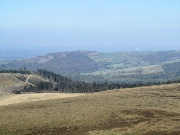
 The Cat & Fiddle |
 Tegg's Nose |
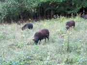
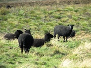
 More black sheep |
 |
 Tegg's Nose from Hanging Gate |
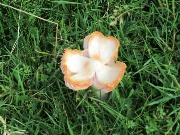
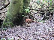
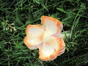 Fungi |
 |
 Rocester & the Dove Valley November 2011 |
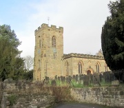
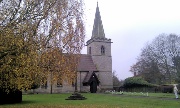 St Michael's, Rocester |
 |
 All that's left of the Roman Fort and the Abbey |
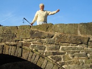
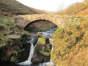
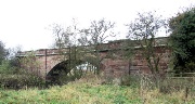 The Dove Bridge |
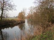
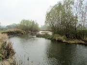 The Dove |
 Abbotsholme School |
 |
 November sunshine |
 towards Uttoxeter |
 Similar to 1958! |
 |
 Eaton Dovedale House |
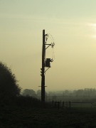 Disconnected Electricity |
 |
 |
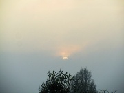
 Towards sunset |
 |
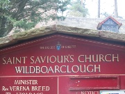
 Wildboarclough and Three Shires Head November 2011 |
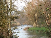
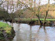
 Clough Brook |
 Shutlingsloe from the Cumberland Brook |
 Aproaching Three Shires Head |
 |
 |
 |
 Shutlingsloe from Cuthorne Hill |
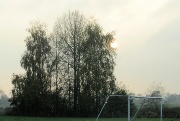
 Wildboarclough Church |
 |
 Rudyard Lake December 2011 |
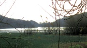 from the North |
 Winkle Minn and Sutton Common |
 Cliff Park |
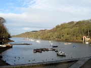 Rudyard from the South |
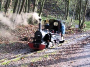
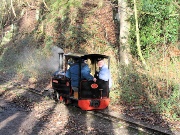 An engine, returning from the Santa Special |
 |
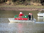 Santa, returning by boat from his rendevous with the special |
 |
 Onecote and the Hamps December 2011 |
 The Hamps |
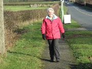
 on Golden Hill |
 approaching Black Brook Farm |
 crossing the Hamps |
 |
 |
 Mixon Grange |
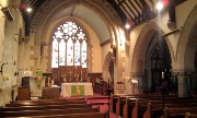
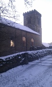
 St Luke's, Onecote |
 |
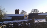
 Oakamoor and Alton Christmas Eve 2011 |
 Oakamoor, old lime kilns |
 The Churnet |
 in Ouzal Dale |
 |
 The Flag Tower, Alton Towers |
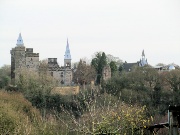
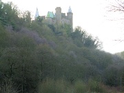
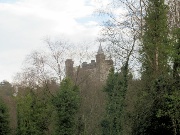
 Alton Castle |
 Toothill Rock |
 |
 |
 Alton Castle |
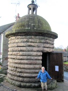 Alton, the Lockup |
 St Peter's Alton |
 Alton Castle ... |
 ... medieval walls |
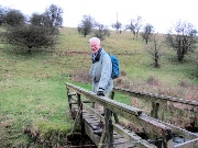
 Down again on the Churnet for lunch |
 |
 Alton Station |
 |
 pheasant |
 Oakamoor Station |
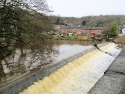
 The Churnet,in spate under Oakamoor bridge |
 The Mermaid and the Hamps Boxing Day, 2011 |
 the spectacular view from the Mermaid |
 Feltysitch farm |
 |
 The Mermaid from close to the source of the Hamps |
 |
 The Hamps outh of New York (farm)! |
 Mixon Grange |
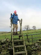
 crossing the Hamps (with new rucksack) |
 |
 Upper Elkstone |
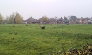
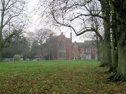
 Whitmore Road & Keele University 28/12/2011 |
 |
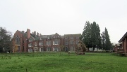
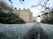
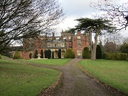 Keele Hall |
Click thumbnail for a larger picture
Click large picture for next one
Image: Canon Powershot 210 IS; web reduction with Photothumb